Latitude: 58.0324 / 58°1'56"N
Longitude: -3.8429 / 3°50'34"W
OS Eastings: 291271
OS Northings: 906287
OS Grid: NC912062
Mapcode National: GBR J7WH.GFM
Mapcode Global: WH4CY.YC7N
Pluscode: 9CCR25J4+WV
What3Words: dimes.threading.shout
Is the location marker in the wrong place? You can help fix that!
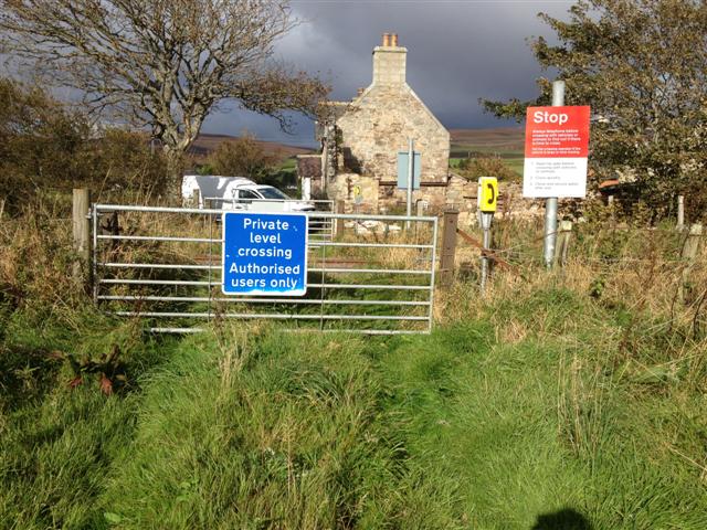
We don't yet have any user-contributed photos of Greenhill Level Crossing.