Latitude: 52.5301 / 52°31'48"N
Longitude: 0.1329 / 0°7'58"E
OS Eastings: 544779
OS Northings: 294609
OS Grid: TL447946
Mapcode National: GBR L3F.BF0
Mapcode Global: VHHHK.8N3S
Pluscode: 9F42G4JM+24
What3Words: sectors.tipping.roost
Is the location marker in the wrong place? You can help fix that!
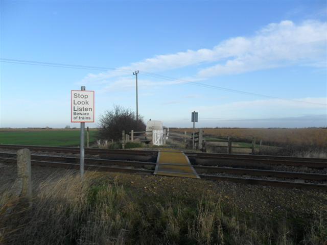
We don't yet have any user-contributed photos of Greens Drove Level Crossing.