Latitude: 50.4054 / 50°24'19"N
Longitude: -4.9217 / 4°55'17"W
OS Eastings: 192486
OS Northings: 60254
OS Grid: SW924602
Mapcode National: GBR ZP.KDH6
Mapcode Global: FRA 07LZ.6G2
Pluscode: 9C2QC34H+58
What3Words: geologist.yard.admit
Is the location marker in the wrong place? You can help fix that!
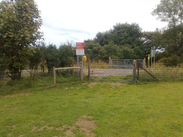
We don't yet have any user-contributed photos of Griggs Level Crossing.