Latitude: 51.4858 / 51°29'8"N
Longitude: -3.3425 / 3°20'32"W
OS Eastings: 306880
OS Northings: 177167
OS Grid: ST068771
Mapcode National: GBR HQ.KMYW
Mapcode Global: VH6F4.0XTD
Pluscode: 9C3RFMP5+82
What3Words: showed.ignore.primed
Is the location marker in the wrong place? You can help fix that!
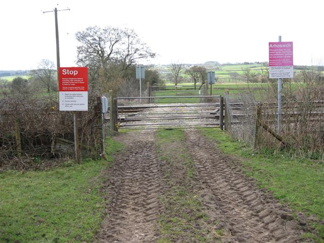
We don't yet have any user-contributed photos of Gwyn Y Gaer Level Crossing.