Latitude: 53.7438 / 53°44'37"N
Longitude: -1.08 / 1°4'47"W
OS Eastings: 460773
OS Northings: 427885
OS Grid: SE607278
Mapcode National: GBR NTW4.ZP
Mapcode Global: WHFD8.C5Y8
Pluscode: 9C5WPWVC+G2
What3Words: debater.inches.receiving
Is the location marker in the wrong place? You can help fix that!
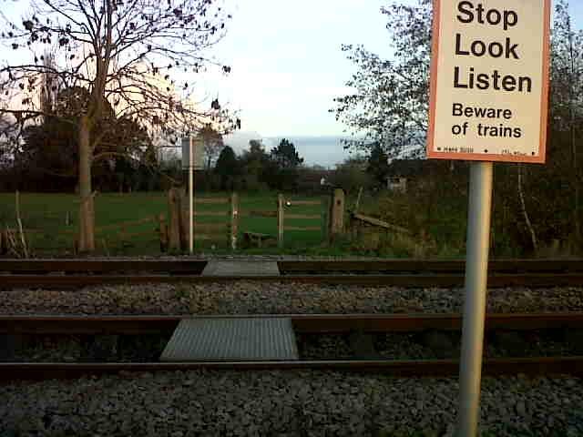
We don't yet have any user-contributed photos of Hagg Bush Level Crossing.