Latitude: 52.4678 / 52°28'4"N
Longitude: 1.1837 / 1°11'1"E
OS Eastings: 616352
OS Northings: 290305
OS Grid: TM163903
Mapcode National: GBR VJ7.63P
Mapcode Global: VHL8W.G7MJ
Pluscode: 9F43F59M+4F
What3Words: bunks.bloom.genius
Is the location marker in the wrong place? You can help fix that!
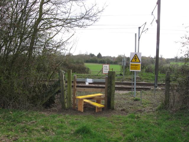
We don't yet have any user-contributed photos of Hallowing Level Crossing.