Latitude: 53.9961 / 53°59'46"N
Longitude: -1.2953 / 1°17'43"W
OS Eastings: 446294
OS Northings: 455794
OS Grid: SE462557
Mapcode National: GBR MQD7.C7
Mapcode Global: WHD9P.2TGC
Pluscode: 9C5WXPW3+CV
What3Words: outdoors.presumes.cape
Is the location marker in the wrong place? You can help fix that!
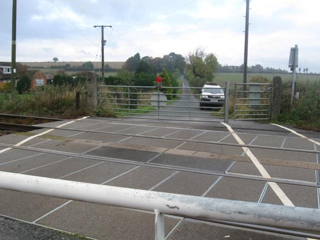
We don't yet have any user-contributed photos of Hammerton Road Level Crossing.