Latitude: 51.8015 / 51°48'5"N
Longitude: -0.0152 / 0°0'54"W
OS Eastings: 536953
OS Northings: 213286
OS Grid: TL369132
Mapcode National: GBR KBT.2YP
Mapcode Global: VHGPH.PZBD
Pluscode: 9C3XRX2M+HW
What3Words: chained.tribes.cubes
Is the location marker in the wrong place? You can help fix that!
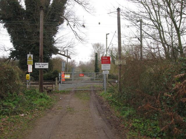
We don't yet have any user-contributed photos of Hardmead Level Crossing.