Latitude: 52.3348 / 52°20'5"N
Longitude: -2.2212 / 2°13'16"W
OS Eastings: 385023
OS Northings: 270765
OS Grid: SO850707
Mapcode National: GBR 1DD.P7S
Mapcode Global: VH921.GL30
Pluscode: 9C4V8QMH+WG
What3Words: pinch.tanks.agenda
Is the location marker in the wrong place? You can help fix that!
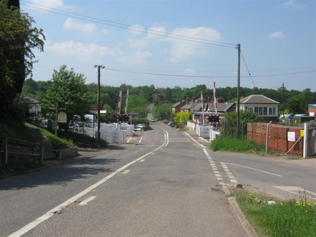
We don't yet have any user-contributed photos of Hartlebury Level Crossing.