Latitude: 57.5291 / 57°31'44"N
Longitude: -2.8257 / 2°49'32"W
OS Eastings: 350651
OS Northings: 849067
OS Grid: NJ506490
Mapcode National: GBR M8DT.L7Y
Mapcode Global: WH7LC.K0MZ
Pluscode: 9C9VG5HF+JP
What3Words: scope.rank.beauty
Is the location marker in the wrong place? You can help fix that!
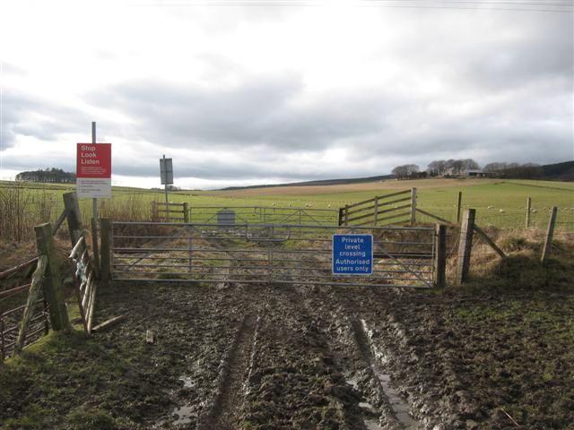
We don't yet have any user-contributed photos of Haughs Level Crossing.