Latitude: 56.8599 / 56°51'35"N
Longitude: -5.3278 / 5°19'40"W
OS Eastings: 197219
OS Northings: 779207
OS Grid: NM972792
Mapcode National: GBR FB7L.6BQ
Mapcode Global: WH1FG.4V60
Pluscode: 9C8PVM5C+WV
What3Words: gifted.logbook.finds
Is the location marker in the wrong place? You can help fix that!
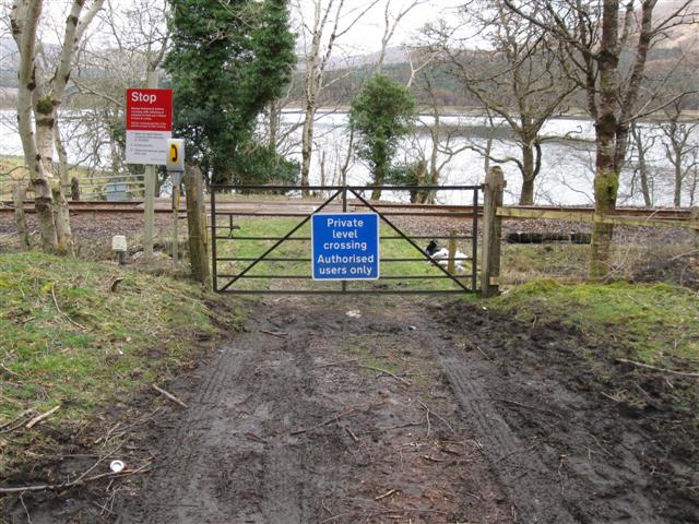
We don't yet have any user-contributed photos of Heads Of Locheil Level Crossing.