Latitude: 53.7704 / 53°46'13"N
Longitude: -2.942 / 2°56'31"W
OS Eastings: 338006
OS Northings: 430867
OS Grid: SD380308
Mapcode National: GBR 7SWV.V4
Mapcode Global: WH85H.SH6C
Pluscode: 9C5VQ3C5+55
What3Words: insulated.populate.planting
Is the location marker in the wrong place? You can help fix that!
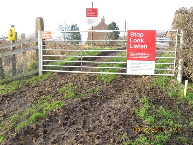
We don't yet have any user-contributed photos of Heskins Level Crossing.