Latitude: 52.2627 / 52°15'45"N
Longitude: -1.7146 / 1°42'52"W
OS Eastings: 419572
OS Northings: 262760
OS Grid: SP195627
Mapcode National: GBR 4L0.59F
Mapcode Global: VHBXM.7DD9
Pluscode: 9C4W777P+34
What3Words: excavated.backed.orchids
Is the location marker in the wrong place? You can help fix that!
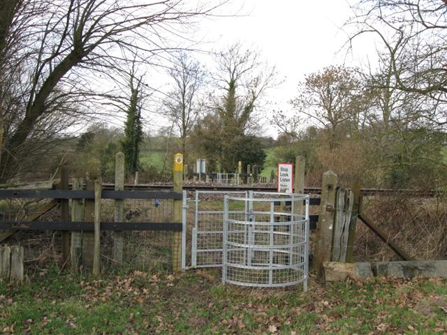
We don't yet have any user-contributed photos of Hill Farm Level Crossing.