Latitude: 53.8386 / 53°50'18"N
Longitude: -1.8071 / 1°48'25"W
OS Eastings: 412793
OS Northings: 438051
OS Grid: SE127380
Mapcode National: GBR J51.LK
Mapcode Global: WHC92.6SR5
Pluscode: 9C5WR5QV+C5
What3Words: vertical.slamming.paddlers
Is the location marker in the wrong place? You can help fix that!
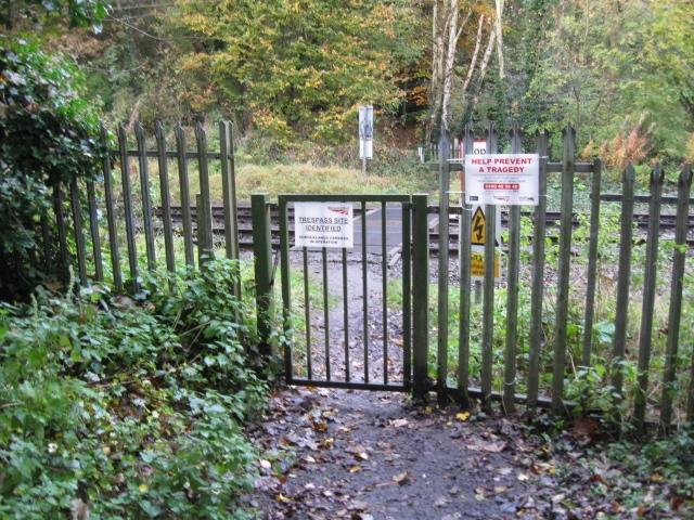
We don't yet have any user-contributed photos of Hirstwood Level Crossing.