Latitude: 50.8305 / 50°49'49"N
Longitude: -0.5879 / 0°35'16"W
OS Eastings: 499545
OS Northings: 104391
OS Grid: SU995043
Mapcode National: GBR FJC.VK6
Mapcode Global: FRA 96NX.2S5
Pluscode: 9C2XRCJ6+6R
What3Words: neatly.active.browser
Is the location marker in the wrong place? You can help fix that!
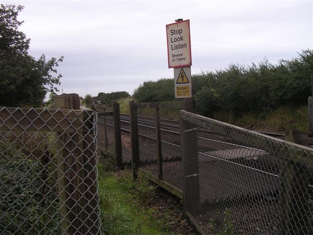
We don't yet have any user-contributed photos of Hoe Lane Level Crossing.