Latitude: 51.4352 / 51°26'6"N
Longitude: 0.4494 / 0°26'57"E
OS Eastings: 570347
OS Northings: 173529
OS Grid: TQ703735
Mapcode National: GBR PP0.SJK
Mapcode Global: VHJLL.Q6X4
Pluscode: 9F32CCPX+3P
What3Words: faded.cages.rope
Is the location marker in the wrong place? You can help fix that!
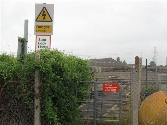
We don't yet have any user-contributed photos of Hollands No.1 Level Crossing.