Latitude: 55.0443 / 55°2'39"N
Longitude: -1.5233 / 1°31'23"W
OS Eastings: 430559
OS Northings: 572304
OS Grid: NZ305723
Mapcode National: GBR KBT3.0K
Mapcode Global: WHC3D.KGVT
Pluscode: 9C7W2FVG+PM
What3Words: growth.pouch.shins
Is the location marker in the wrong place? You can help fix that!
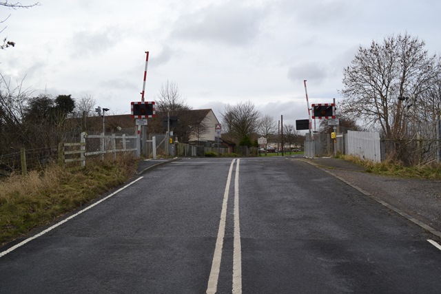
We don't yet have any user-contributed photos of Holywell Level Crossing.