Latitude: 53.0916 / 53°5'29"N
Longitude: -2.3122 / 2°18'43"W
OS Eastings: 379189
OS Northings: 354980
OS Grid: SJ791549
Mapcode National: GBR 01V.47L
Mapcode Global: WH9B7.GK57
Pluscode: 9C5V3MRQ+J4
What3Words: nerves.fiction.slipped
Is the location marker in the wrong place? You can help fix that!
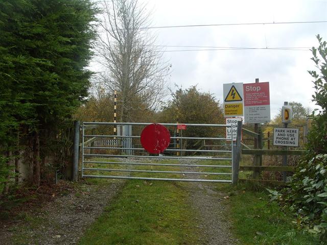
We don't yet have any user-contributed photos of Home Farm Level Crossing.