Latitude: 51.3299 / 51°19'47"N
Longitude: 1.3051 / 1°18'18"E
OS Eastings: 630346
OS Northings: 164164
OS Grid: TR303641
Mapcode National: GBR X0G.DT3
Mapcode Global: VHLGC.KTVW
Pluscode: 9F3388H4+X3
What3Words: lined.cunning.performed
Is the location marker in the wrong place? You can help fix that!
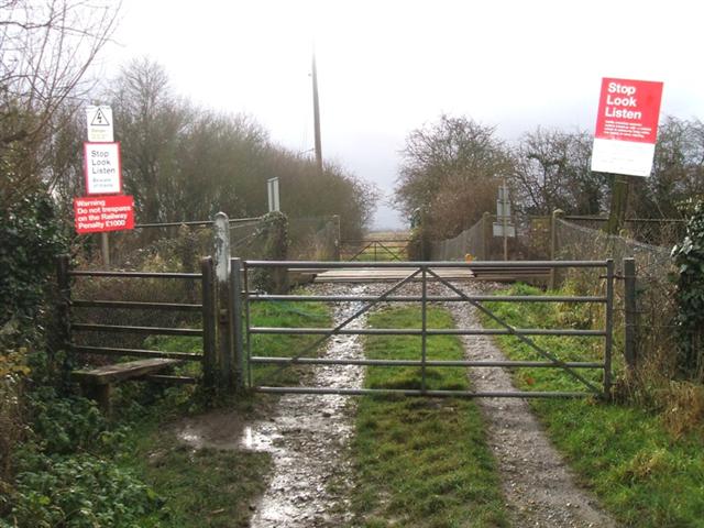
We don't yet have any user-contributed photos of Hopes Level Crossing.