Latitude: 51.3099 / 51°18'35"N
Longitude: 1.1636 / 1°9'48"E
OS Eastings: 620583
OS Northings: 161503
OS Grid: TR205615
Mapcode National: GBR VZ4.T5D
Mapcode Global: VHLGH.3BZP
Pluscode: 9F338557+WC
What3Words: initiates.climbing.broccoli
Is the location marker in the wrong place? You can help fix that!
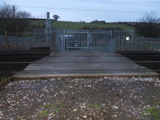
We don't yet have any user-contributed photos of Hoplands Level Crossing.