Latitude: 56.2914 / 56°17'28"N
Longitude: -3.0614 / 3°3'40"W
OS Eastings: 334401
OS Northings: 711499
OS Grid: NO344114
Mapcode National: GBR 2F.7N5K
Mapcode Global: WH6R3.Y4C8
Pluscode: 9C8R7WRQ+HF
What3Words: tutored.surfacing.boats
Is the location marker in the wrong place? You can help fix that!
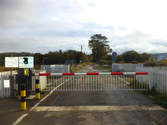
We don't yet have any user-contributed photos of Hospital Mill Level Crossing.