Latitude: 52.2214 / 52°13'17"N
Longitude: -3.3898 / 3°23'23"W
OS Eastings: 305156
OS Northings: 259041
OS Grid: SO051590
Mapcode National: GBR YP.21T5
Mapcode Global: VH69M.6F9F
Pluscode: 9C4R6JC6+H3
What3Words: sailed.improving.argue
Is the location marker in the wrong place? You can help fix that!
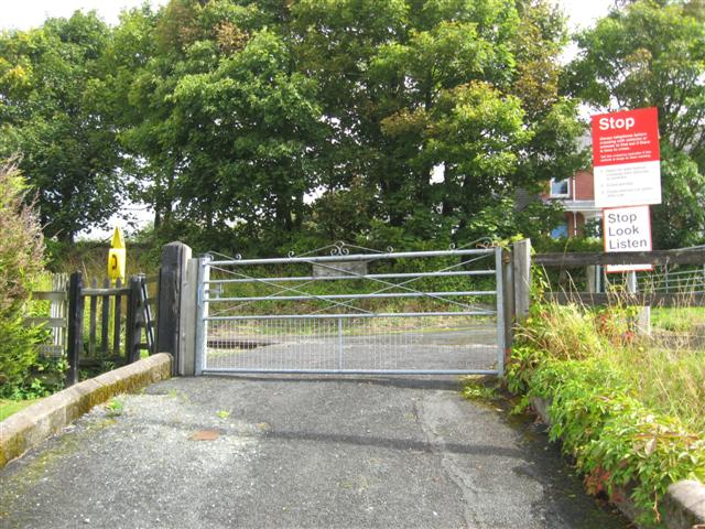
We don't yet have any user-contributed photos of Howey Level Crossing.