Latitude: 53.3897 / 53°23'22"N
Longitude: -3.1792 / 3°10'45"W
OS Eastings: 321675
OS Northings: 388739
OS Grid: SJ216887
Mapcode National: GBR 6Y77.JM
Mapcode Global: WH766.42C7
Pluscode: 9C5R9RQC+V8
What3Words: balance.quoted.declares
Is the location marker in the wrong place? You can help fix that!
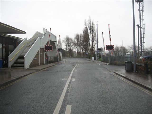
We don't yet have any user-contributed photos of Hoylake Level Crossing.