Latitude: 50.982 / 50°58'55"N
Longitude: 0.8727 / 0°52'21"E
OS Eastings: 601741
OS Northings: 124212
OS Grid: TR017242
Mapcode National: GBR RYT.CH6
Mapcode Global: FRA D6QJ.1TX
Pluscode: 9F22XVJF+Q3
What3Words: wording.haven.extensive
Is the location marker in the wrong place? You can help fix that!
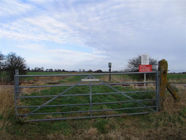
We don't yet have any user-contributed photos of Hughes Level Crossing.