Latitude: 50.6861 / 50°41'10"N
Longitude: -2.261 / 2°15'39"W
OS Eastings: 381657
OS Northings: 87419
OS Grid: SY816874
Mapcode National: GBR 0ZY.Z1Z
Mapcode Global: FRA 6748.BZD
Pluscode: 9C2VMPPQ+FH
What3Words: litigate.shins.fairy
Is the location marker in the wrong place? You can help fix that!
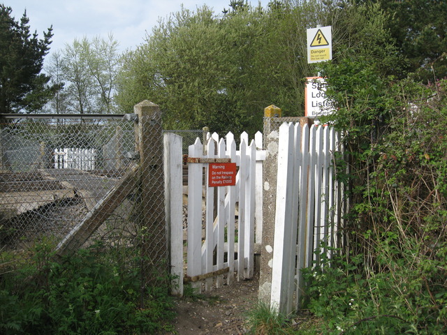
We don't yet have any user-contributed photos of Hyford Level Crossing.