Latitude: 51.8655 / 51°51'55"N
Longitude: -2.2989 / 2°17'56"W
OS Eastings: 379514
OS Northings: 218593
OS Grid: SO795185
Mapcode National: GBR 0JL.TXC
Mapcode Global: VH94B.3CJQ
Pluscode: 9C3VVP82+6C
What3Words: caged.react.assume
Is the location marker in the wrong place? You can help fix that!
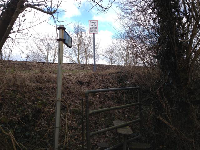
We don't yet have any user-contributed photos of Hygrove Level Crossing.