Latitude: 58.005 / 58°0'17"N
Longitude: -3.8626 / 3°51'45"W
OS Eastings: 290025
OS Northings: 903270
OS Grid: NC900032
Mapcode National: GBR J7TK.RDS
Mapcode Global: WH4D4.M2W4
Pluscode: 9CCR243P+XX
What3Words: depravity.driveways.professed
Is the location marker in the wrong place? You can help fix that!
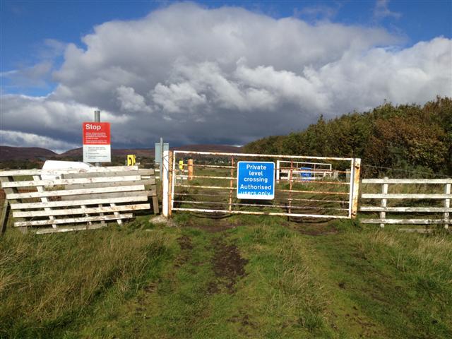
We don't yet have any user-contributed photos of Inver Brora 2 Level Crossing.