Latitude: 52.1899 / 52°11'23"N
Longitude: -2.2391 / 2°14'20"W
OS Eastings: 383752
OS Northings: 254659
OS Grid: SO837546
Mapcode National: GBR 1G3.QQG
Mapcode Global: VH92T.47N1
Pluscode: 9C4V5QQ6+X9
What3Words: volunteered.stack.gets
Is the location marker in the wrong place? You can help fix that!
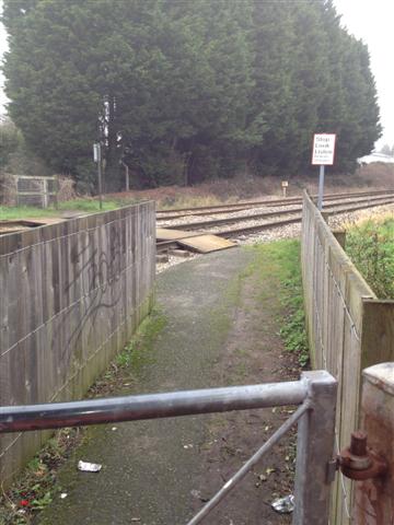
We don't yet have any user-contributed photos of Kay's Level Crossing.