Latitude: 51.0429 / 51°2'34"N
Longitude: 0.825 / 0°49'30"E
OS Eastings: 598133
OS Northings: 130858
OS Grid: TQ981308
Mapcode National: GBR RXZ.KDY
Mapcode Global: FRA D6MC.78H
Pluscode: 9F322RVG+52
What3Words: spin.mascots.commended
Is the location marker in the wrong place? You can help fix that!
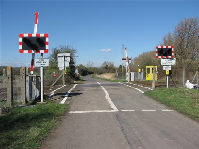
We don't yet have any user-contributed photos of Kenardington Level Crossing.