Latitude: 54.1727 / 54°10'21"N
Longitude: -2.9253 / 2°55'31"W
OS Eastings: 339692
OS Northings: 475604
OS Grid: SD396756
Mapcode National: GBR 8N05.GZ
Mapcode Global: WH83L.1D80
Pluscode: 9C6V53FF+3V
What3Words: mailings.peanut.examples
Is the location marker in the wrong place? You can help fix that!
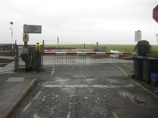
We don't yet have any user-contributed photos of Kents Bank Level Crossing.