Latitude: 52.6253 / 52°37'31"N
Longitude: -0.5474 / 0°32'50"W
OS Eastings: 498421
OS Northings: 304051
OS Grid: SK984040
Mapcode National: GBR FW2.DF6
Mapcode Global: WHGM2.K8JQ
Pluscode: 9C4XJFG3+42
What3Words: hires.lunged.pigs
Is the location marker in the wrong place? You can help fix that!
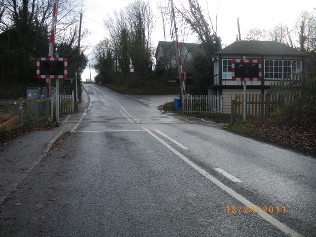
We don't yet have any user-contributed photos of Ketton Level Crossing.