Latitude: 50.7042 / 50°42'15"N
Longitude: -2.0922 / 2°5'32"W
OS Eastings: 393583
OS Northings: 89400
OS Grid: SY935894
Mapcode National: GBR 32M.RV8
Mapcode Global: FRA 67H6.YJ8
Pluscode: 9C2VPW35+M4
What3Words: tilting.skirt.springing
Is the location marker in the wrong place? You can help fix that!
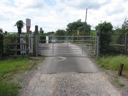
We don't yet have any user-contributed photos of Keysworth Level Crossing.