Latitude: 52.5572 / 52°33'25"N
Longitude: -0.1663 / 0°9'58"W
OS Eastings: 524407
OS Northings: 297062
OS Grid: TL244970
Mapcode National: GBR J00.LRH
Mapcode Global: WHHNL.FZ0G
Pluscode: 9C4XHR4M+VF
What3Words: sunblock.proofs.staked
Is the location marker in the wrong place? You can help fix that!
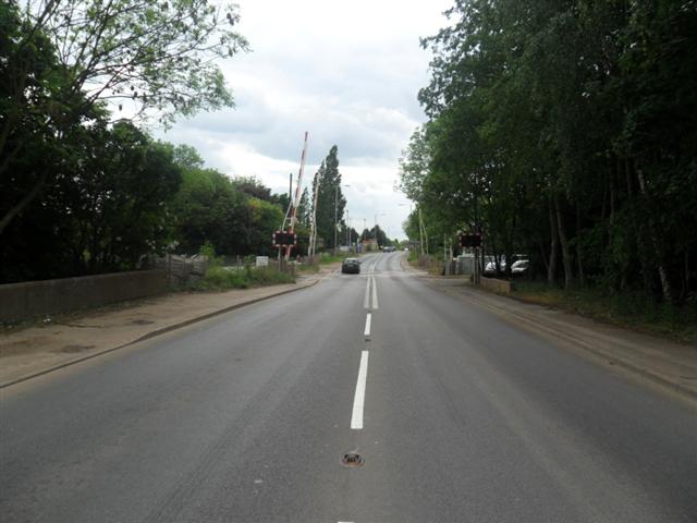
We don't yet have any user-contributed photos of Kings Dyke Level Crossing.