Latitude: 51.618 / 51°37'4"N
Longitude: -3.1148 / 3°6'53"W
OS Eastings: 322912
OS Northings: 191604
OS Grid: ST229916
Mapcode National: GBR J0.9C72
Mapcode Global: VH6DN.YLPJ
Pluscode: 9C3RJV9P+53
What3Words: streetcar.glass.sounding
Is the location marker in the wrong place? You can help fix that!
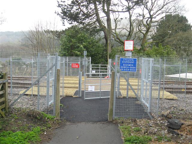
We don't yet have any user-contributed photos of Kings Head Level Crossing.