Latitude: 57.9816 / 57°58'53"N
Longitude: -4.1247 / 4°7'28"W
OS Eastings: 274455
OS Northings: 901130
OS Grid: NC744011
Mapcode National: GBR J75M.RC5
Mapcode Global: WH4D0.MN21
Pluscode: 9C9QXVJG+M4
What3Words: promoted.faced.hydration
Is the location marker in the wrong place? You can help fix that!
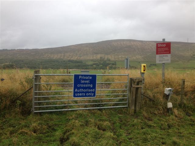
We don't yet have any user-contributed photos of Kinnauld East 2 Level Crossing.