Latitude: 58.0454 / 58°2'43"N
Longitude: -3.8192 / 3°49'9"W
OS Eastings: 292710
OS Northings: 907695
OS Grid: NC927076
Mapcode National: GBR J7YG.F7T
Mapcode Global: WH5F3.91LP
Pluscode: 9CCR25WJ+48
What3Words: supple.vowel.describe
Is the location marker in the wrong place? You can help fix that!
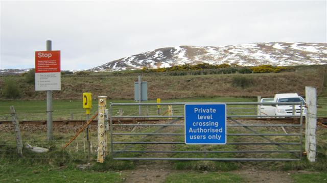
We don't yet have any user-contributed photos of Kintradwell 2 Level Crossing.