Latitude: 56.4229 / 56°25'22"N
Longitude: -4.6589 / 4°39'32"W
OS Eastings: 236102
OS Northings: 728799
OS Grid: NN361287
Mapcode National: GBR GCWR.0P8
Mapcode Global: WH2K1.DTQJ
Pluscode: 9C8QC8FR+4C
What3Words: painted.advice.adjusting
Is the location marker in the wrong place? You can help fix that!
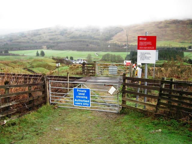
We don't yet have any user-contributed photos of Kirkton Farm Level Crossing.