Latitude: 51.9378 / 51°56'16"N
Longitude: -1.2898 / 1°17'23"W
OS Eastings: 448921
OS Northings: 226830
OS Grid: SP489268
Mapcode National: GBR 7VF.JQD
Mapcode Global: VHCWV.LKH9
Pluscode: 9C3WWPQ6+43
What3Words: dummy.frail.inherits
Is the location marker in the wrong place? You can help fix that!
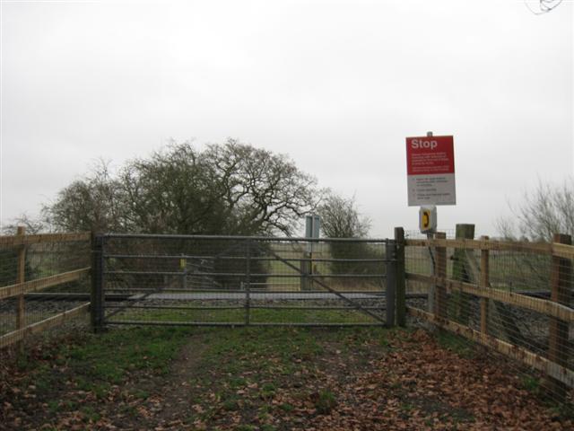
We don't yet have any user-contributed photos of Knaptons Level Crossing.