Latitude: 51.6984 / 51°41'54"N
Longitude: -4.7279 / 4°43'40"W
OS Eastings: 211578
OS Northings: 203483
OS Grid: SN115034
Mapcode National: GBR GD.Q2WW
Mapcode Global: VH2PL.0KDW
Pluscode: 9C3QM7XC+9R
What3Words: innocence.duet.vague
Is the location marker in the wrong place? You can help fix that!
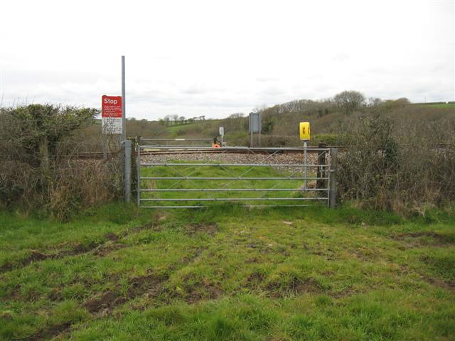
We don't yet have any user-contributed photos of Knightson Farm 1 Level Crossing.