Latitude: 55.382 / 55°22'55"N
Longitude: -3.9687 / 3°58'7"W
OS Eastings: 275364
OS Northings: 611543
OS Grid: NS753115
Mapcode National: GBR 06Q6.KJ
Mapcode Global: WH4SP.0ZDH
Pluscode: 9C7R92JJ+QG
What3Words: nerd.thunder.witty
Is the location marker in the wrong place? You can help fix that!
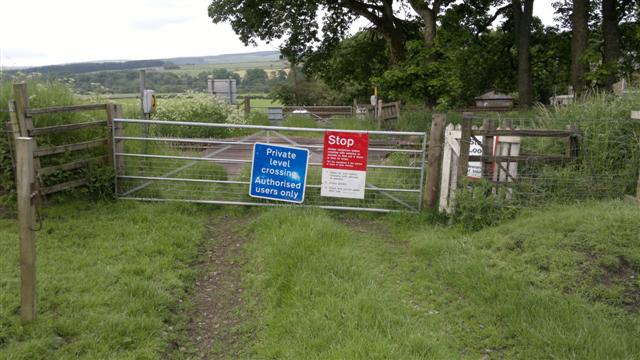
We don't yet have any user-contributed photos of Knockinjig Level Crossing.