Latitude: 52.6504 / 52°39'1"N
Longitude: 0.376 / 0°22'33"E
OS Eastings: 560830
OS Northings: 308503
OS Grid: TF608085
Mapcode National: GBR N4V.ZV2
Mapcode Global: WHJPL.RM8Z
Pluscode: 9F42M92G+5C
What3Words: fewest.salary.spelled
Is the location marker in the wrong place? You can help fix that!
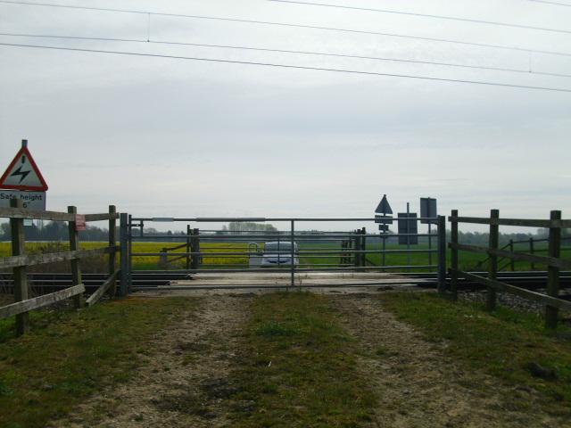
We don't yet have any user-contributed photos of Lambert Level Crossing.