Latitude: 52.6971 / 52°41'49"N
Longitude: -2.9956 / 2°59'44"W
OS Eastings: 332814
OS Northings: 311512
OS Grid: SJ328115
Mapcode National: GBR B6.336C
Mapcode Global: WH8BP.YGPP
Pluscode: 9C4VM2W3+RQ
What3Words: shadowing.stables.crunchy
Is the location marker in the wrong place? You can help fix that!
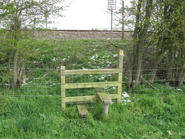
We don't yet have any user-contributed photos of Lane Bridge Level Crossing.