Latitude: 54.2086 / 54°12'31"N
Longitude: -3.2974 / 3°17'50"W
OS Eastings: 315475
OS Northings: 479989
OS Grid: SD154799
Mapcode National: GBR 5MDS.X2
Mapcode Global: WH722.BG1Y
Pluscode: 9C6R6P53+F2
What3Words: cubes.hospitals.flexed
Is the location marker in the wrong place? You can help fix that!
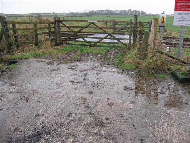
We don't yet have any user-contributed photos of Langthwaite Level Crossing.