Latitude: 50.3424 / 50°20'32"N
Longitude: -4.8492 / 4°50'57"W
OS Eastings: 197365
OS Northings: 53043
OS Grid: SW973530
Mapcode National: GBR ZT.NFK8
Mapcode Global: FRA 08Q4.BNC
Pluscode: 9C2Q85R2+W8
What3Words: take.unzipped.like
Is the location marker in the wrong place? You can help fix that!
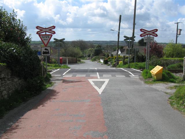
We don't yet have any user-contributed photos of Lanjeth Level Crossing.