Latitude: 51.9052 / 51°54'18"N
Longitude: -1.1112 / 1°6'40"W
OS Eastings: 461245
OS Northings: 223334
OS Grid: SP612233
Mapcode National: GBR 9YQ.FX4
Mapcode Global: VHCX4.PCFT
Pluscode: 9C3WWV4Q+3G
What3Words: budgeted.districts.decisions
Is the location marker in the wrong place? You can help fix that!
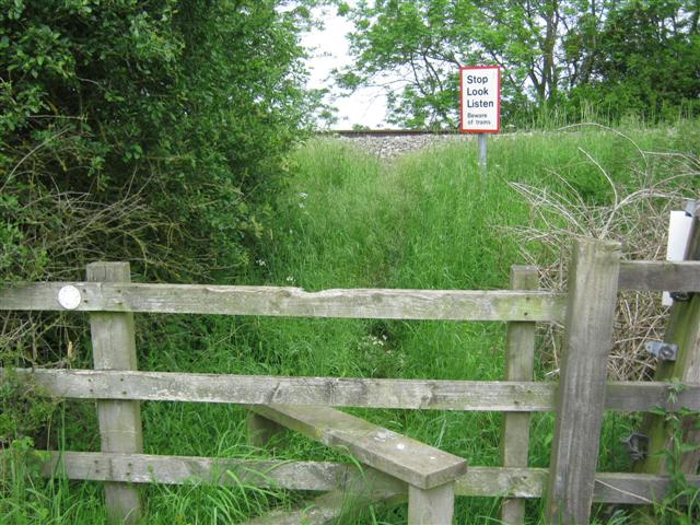
We don't yet have any user-contributed photos of Launton No.1 Level Crossing.