Latitude: 53.6871 / 53°41'13"N
Longitude: -2.0964 / 2°5'46"W
OS Eastings: 393733
OS Northings: 421188
OS Grid: SD937211
Mapcode National: GBR FTST.Y0
Mapcode Global: WHB8K.RLX7
Pluscode: 9C5VMWP3+RF
What3Words: cooking.event.transcribes
Is the location marker in the wrong place? You can help fix that!
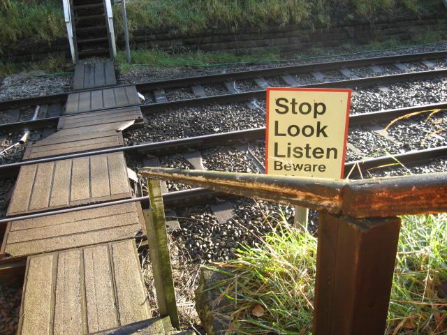
We don't yet have any user-contributed photos of Laybotham Level Crossing.