Latitude: 58.1832 / 58°10'59"N
Longitude: -3.8735 / 3°52'24"W
OS Eastings: 289929
OS Northings: 923123
OS Grid: NC899231
Mapcode National: GBR J7T3.0DW
Mapcode Global: WH4C5.GLP1
Pluscode: 9CCR54MG+7J
What3Words: cookbooks.remotes.descended
Is the location marker in the wrong place? You can help fix that!
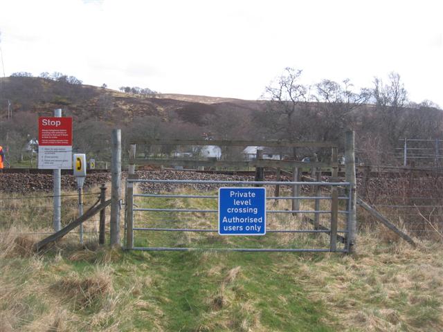
We don't yet have any user-contributed photos of Learable Level Crossing.