Latitude: 52.045 / 52°2'41"N
Longitude: -2.423 / 2°25'22"W
OS Eastings: 371083
OS Northings: 238591
OS Grid: SO710385
Mapcode National: GBR FZ.F7L9
Mapcode Global: VH85T.YVDQ
Pluscode: 9C4V2HVG+XQ
What3Words: replaces.noodle.hindered
Is the location marker in the wrong place? You can help fix that!
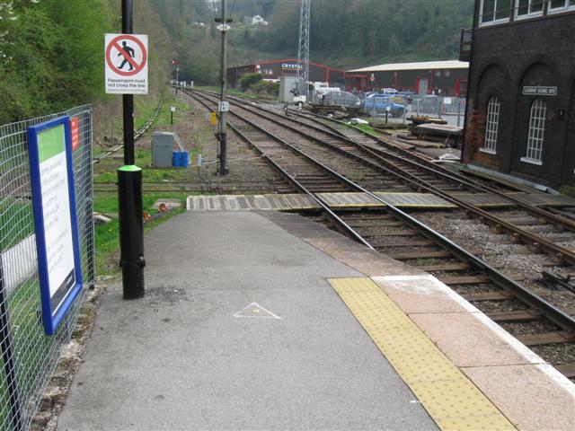
We don't yet have any user-contributed photos of Ledbury Level Crossing.