Latitude: 52.2143 / 52°12'51"N
Longitude: -2.7253 / 2°43'31"W
OS Eastings: 350539
OS Northings: 257586
OS Grid: SO505575
Mapcode National: GBR FK.2QLZ
Mapcode Global: VH84W.QL2X
Pluscode: 9C4V677F+PV
What3Words: skate.continued.strike
Is the location marker in the wrong place? You can help fix that!
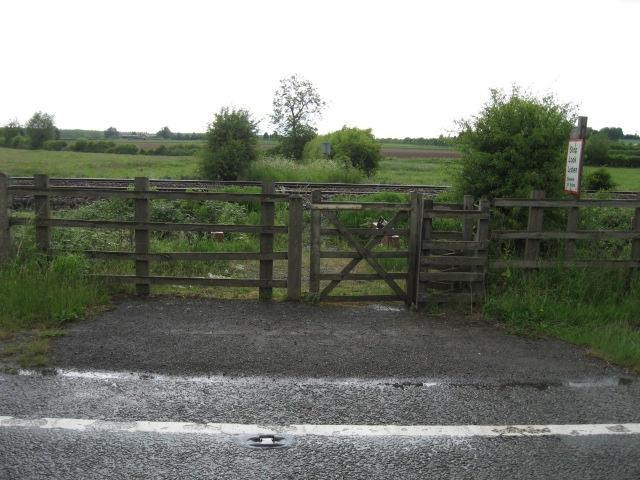
We don't yet have any user-contributed photos of Leominster 159 Level Crossing.