Latitude: 52.1356 / 52°8'8"N
Longitude: -2.0879 / 2°5'16"W
OS Eastings: 394078
OS Northings: 248592
OS Grid: SO940485
Mapcode National: GBR 2JF.0XY
Mapcode Global: VH932.RLK6
Pluscode: 9C4V4WP6+6R
What3Words: discount.lawns.slam
Is the location marker in the wrong place? You can help fix that!
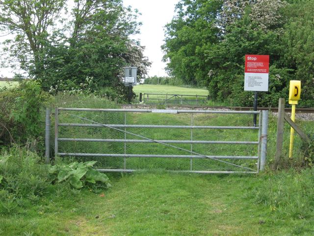
We don't yet have any user-contributed photos of Lewis 1 Level Crossing.